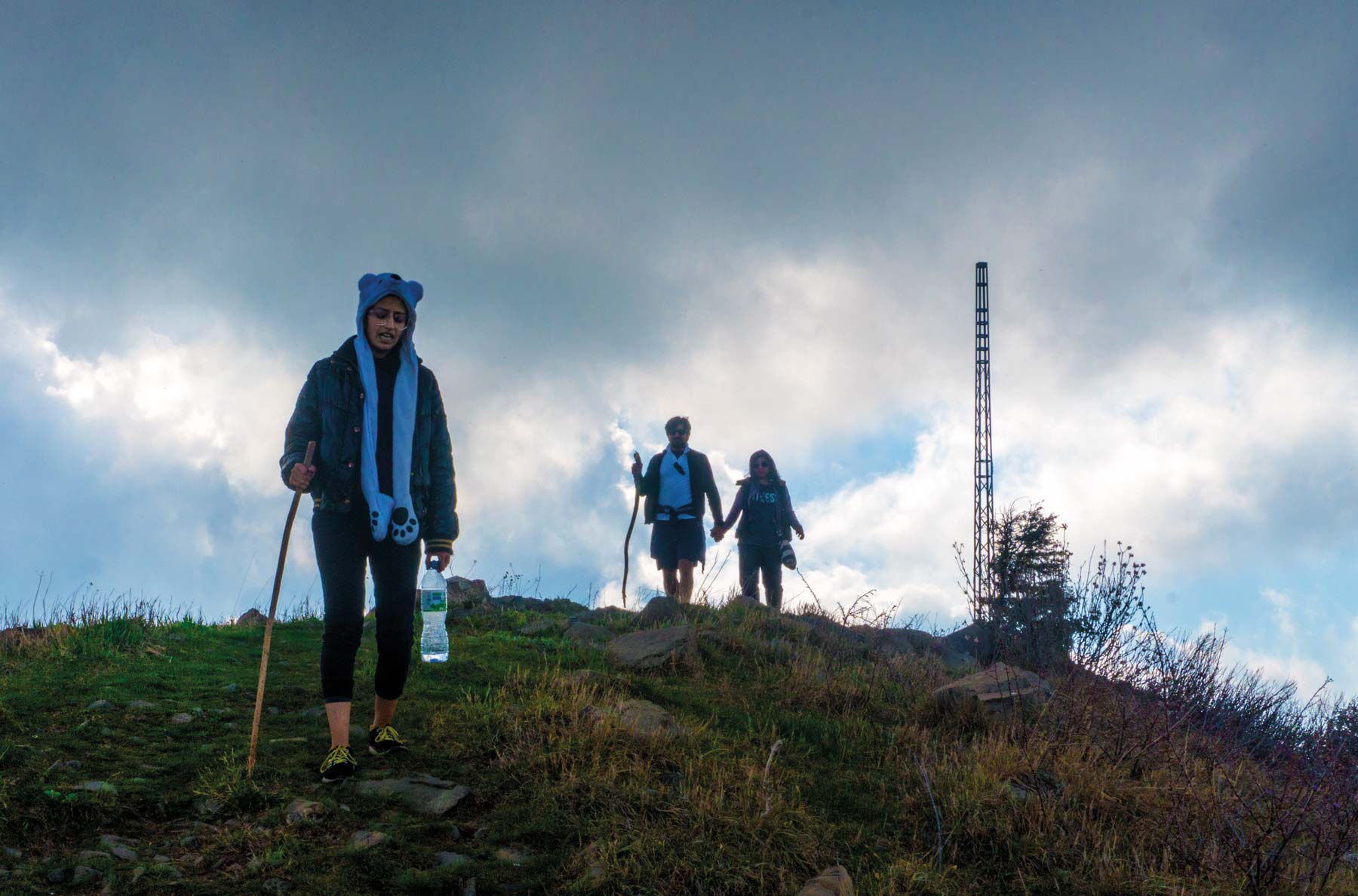
With a variety of hiking trails to suit everyone, the mountain resort of Nathiagali is a favoured destination for adventure seekers and nature enthusiasts. The picturesque trails, however, can be treacherous unless undertaken at the right time of the year, as one member of Team Destinations, Wali Akhter, has learnt during his numerous attempts to complete the Miranjani trek. Read on as he shares the how, why and when of hiking in Nathiagali, as well as the lessons learnt to make sure you do it right.
HOW TO GET THERE
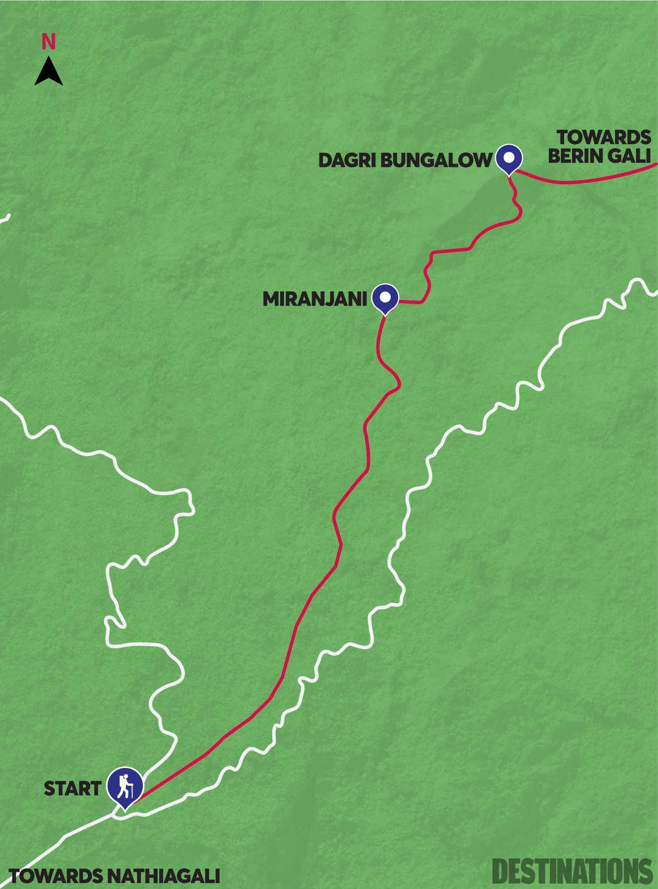
It takes 2.5 hours from Islamabad, and 7 hours from Lahore to reach Nathiagali. There is clear signage at the start of the track and you cannot miss it. Getting to Miranjani top without a guide is easy. But from there on, the track cannot be attempted without a guide.
THE TRACK
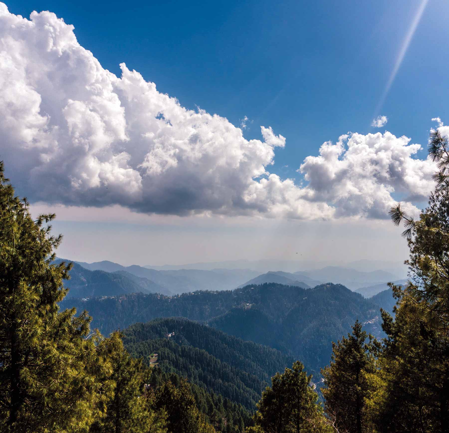
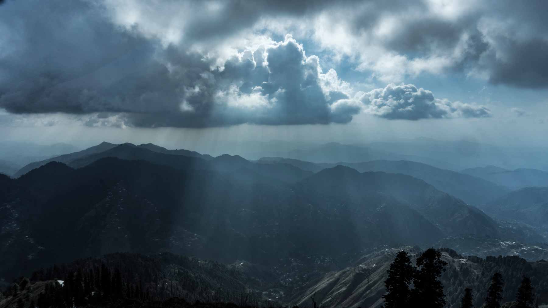
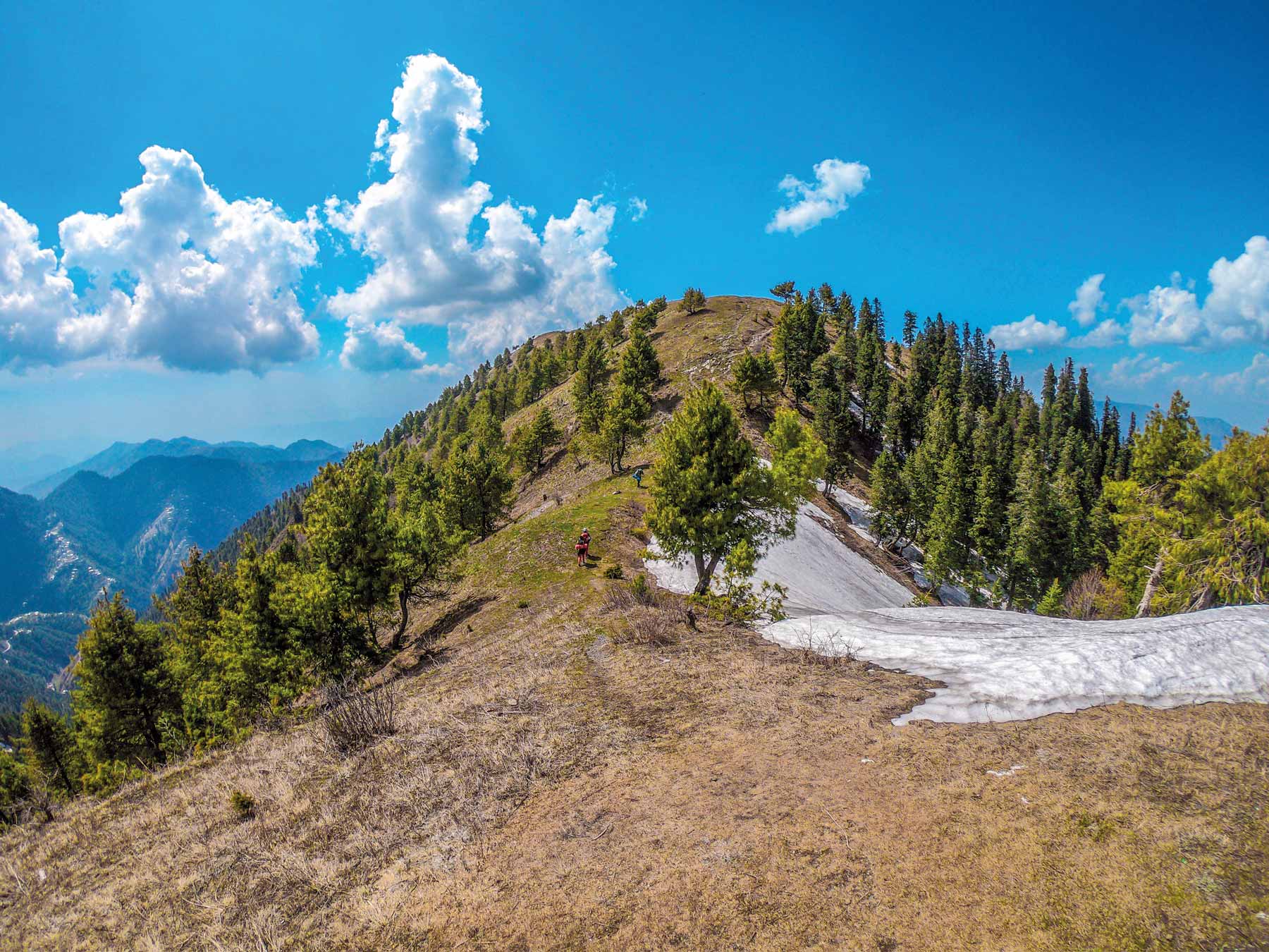
It takes roughly 5 hours to reach the top of the Miranjani peak. The viewpoint is not as impressive as Mushkpuri (except on a moonless night when one can see the surrounding areas lit up) but the track itself is very picturesque.
Miranjani-Dagri Bangla
This stretch takes 3 hours on a mostly flat track. Dagri Bangla is the halfway mark of the track, and there is a proper shelter where you can camp. There is also a stream nearby from where you can fill up on water.
Dagri Bangla-Beringali
The Dagri Bangla to Beringali stretch is the most scenic part of the track. It is a 7-hour hike to reach Beringali, but as its downhill, it is relatively easy to attempt. From Beringali, you can hire a taxi/jeep to take you back to Nathiagali.
Nathiagali is known to adventure junkies across the country, with three hiking trails to suit all needs. The pipeline track is flat and easy, the Mushkpuri track is relatively challenging but not as long as the Miranjani one. It might take you 2 hours to reach the top of the Mushkpuri peak but will take you 2 days to complete the Miranjani-Beringali trail.
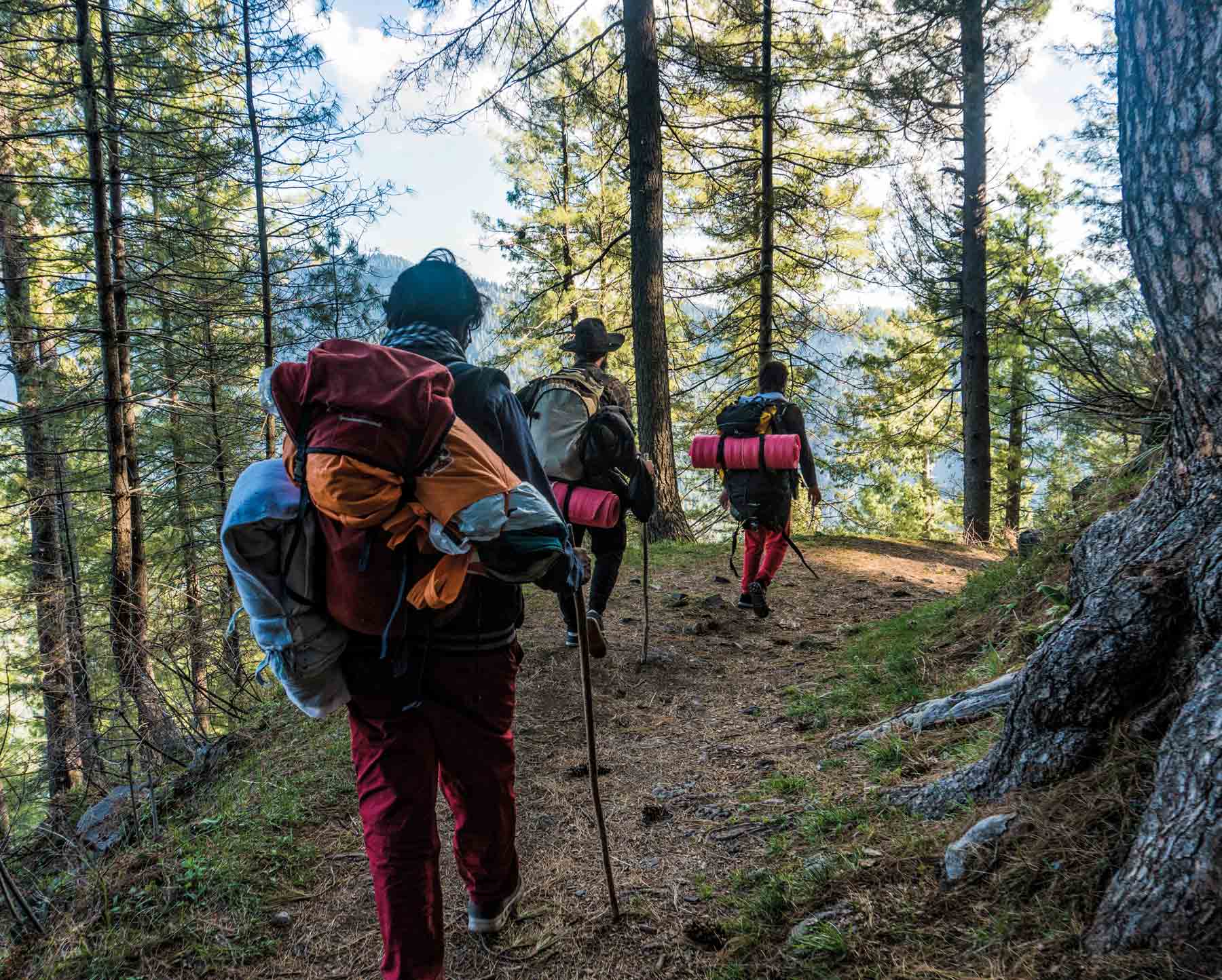
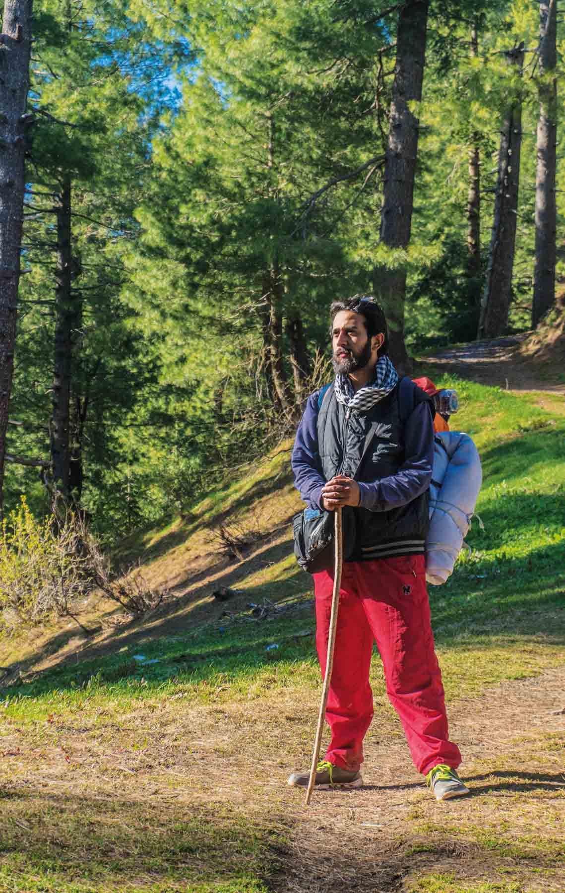
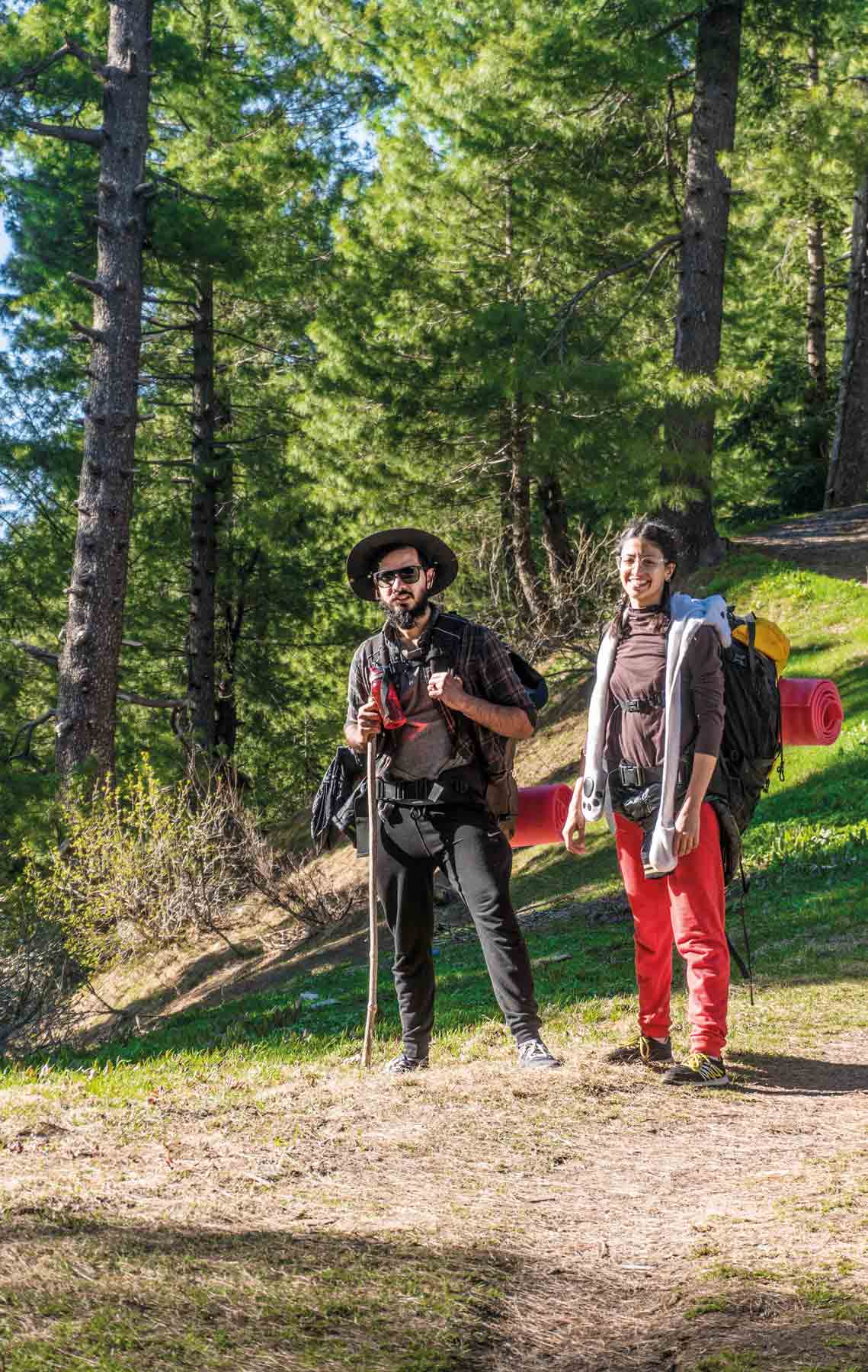
I have a very adventurous group of friends; some might even call us foolhardy. Fear is something that is unknown to us, which is why we only need the seed of a wild idea to plan a new escapade. Our latest adventure involved attempting the Miranjani-Beringali trail in Nathiagali, one of the longest and most scenic trails in the Galiyat area.
This is the story of how, after four tries (three failed, and one successful), we perfected a camping plan for the benefit on anyone looking to go up north to the Galiyat trails this summer.
ATTEMPT #1 (2017)
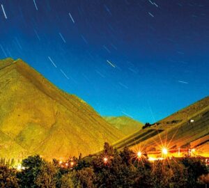
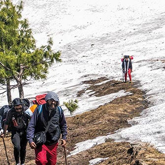
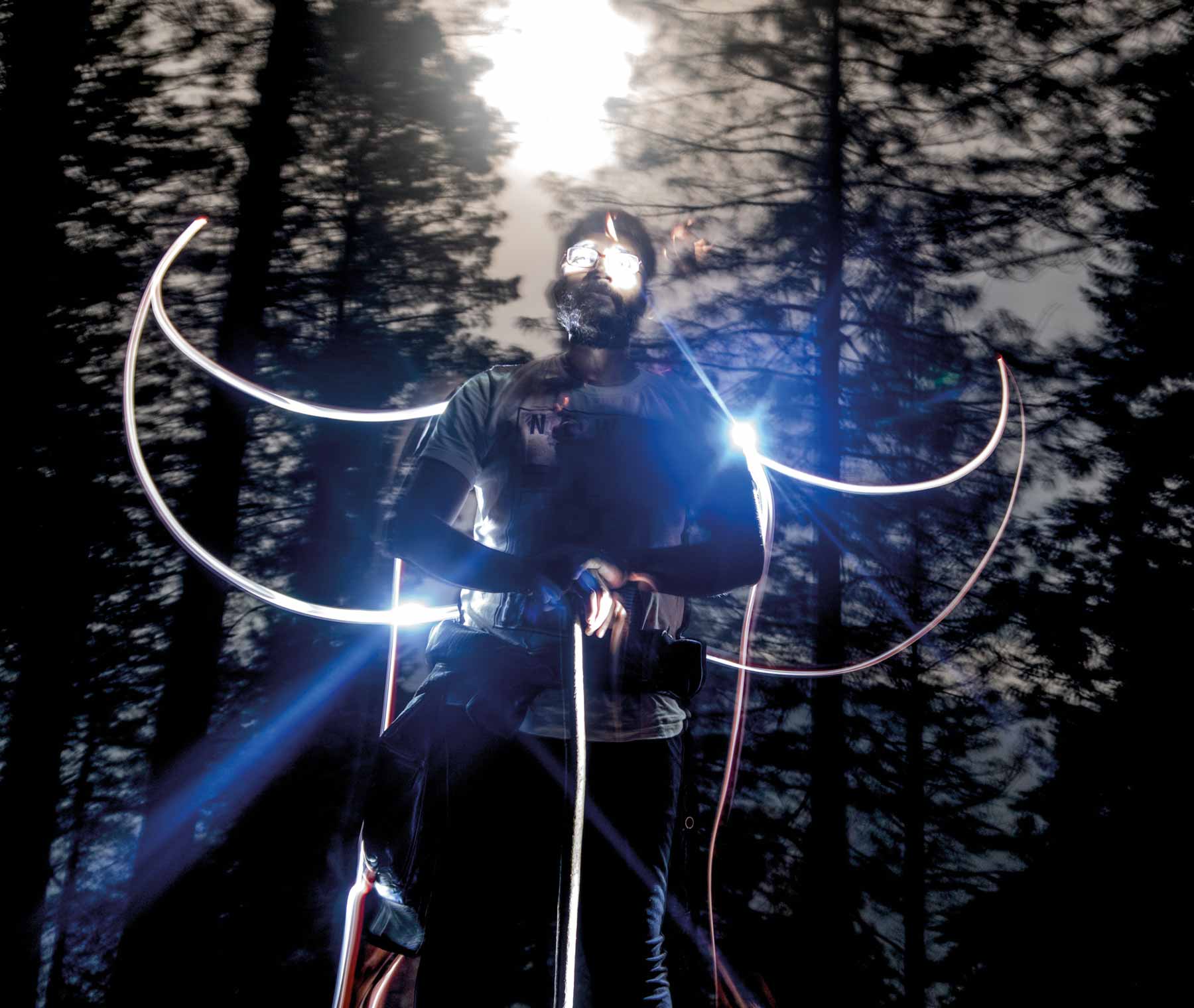
We had camped on Miranjani, the highest peak in the Galiyat at a height of 9,816 ft, before but never on a moonless night, which is when the best views are visible. My friends Shams and Hassan, and I reached the top in 5 hours from Nathiagali. After enjoying a beautiful sunset and lighting up a bonfire, we had dinner under the open sky. The night grew dark and the nearby villages and Abbottabad lit up to create a surreal experience. We could see the Milky Way merge into the city lights of Abbottabad, a 360-degree experience of a starry night. The next morning, we continued our hike towards Dagri Bangla despite rainfall, but eventually had to turn back as we realized that our food rations were running out.
Lesson learnt:
Bring the right type of tinned, ready-to-eat food, carry a raincoat and travel super light.
 ATTEMPT #2 (2018)
The second time around, we tried the track from the other side (Thandiani). We began hiking one hour before sunset, and after 3 hours of walking, camped by the side of the trail. In the morning it started to rain and visibility was adversely affected. We were de-tracked and lost 2 hours of sunlight. By midday, we had crossed Beringali, but unfortunately we got de-tracked again. Remember I said earlier that we are very adventurous – we don’t believe in getting a guide.
By 6pm, we were on the right track but after sunset it started raining again. After hiking in heavy rain we got de-tracked for the third time. We were in a forest, lost, and the rain had turned into a storm, bringing the visibility down by 50 percent. Luckily, we found a pipe leading towards a small one-man trail. We followed that and the sound of the azaan from a nearby mosque and eventually came upon an abandoned building. Glad to finally find some shelter, we huddled inside and spent the night there. In the morning, we managed to find our bearing and realized we were on the outskirts of Beringali, which meant we still had to ascend up Dagri Bangla and all the way to Miranjani top. We turned back from there.
Lesson learnt:
Buy a raincoat already. You can’t get lost in the Galiyat if you stick to a path. Never leave a path, even if you are lost. Paths lead to civilisation.
Hire a guide.
The locals aren’t lying about leopards.
ATTEMPT #3 (2019)
In October of 2018 we had completed the track for the first time and we felt bold enough to try it again in the summer – without a guide, of course (you should know that by now).
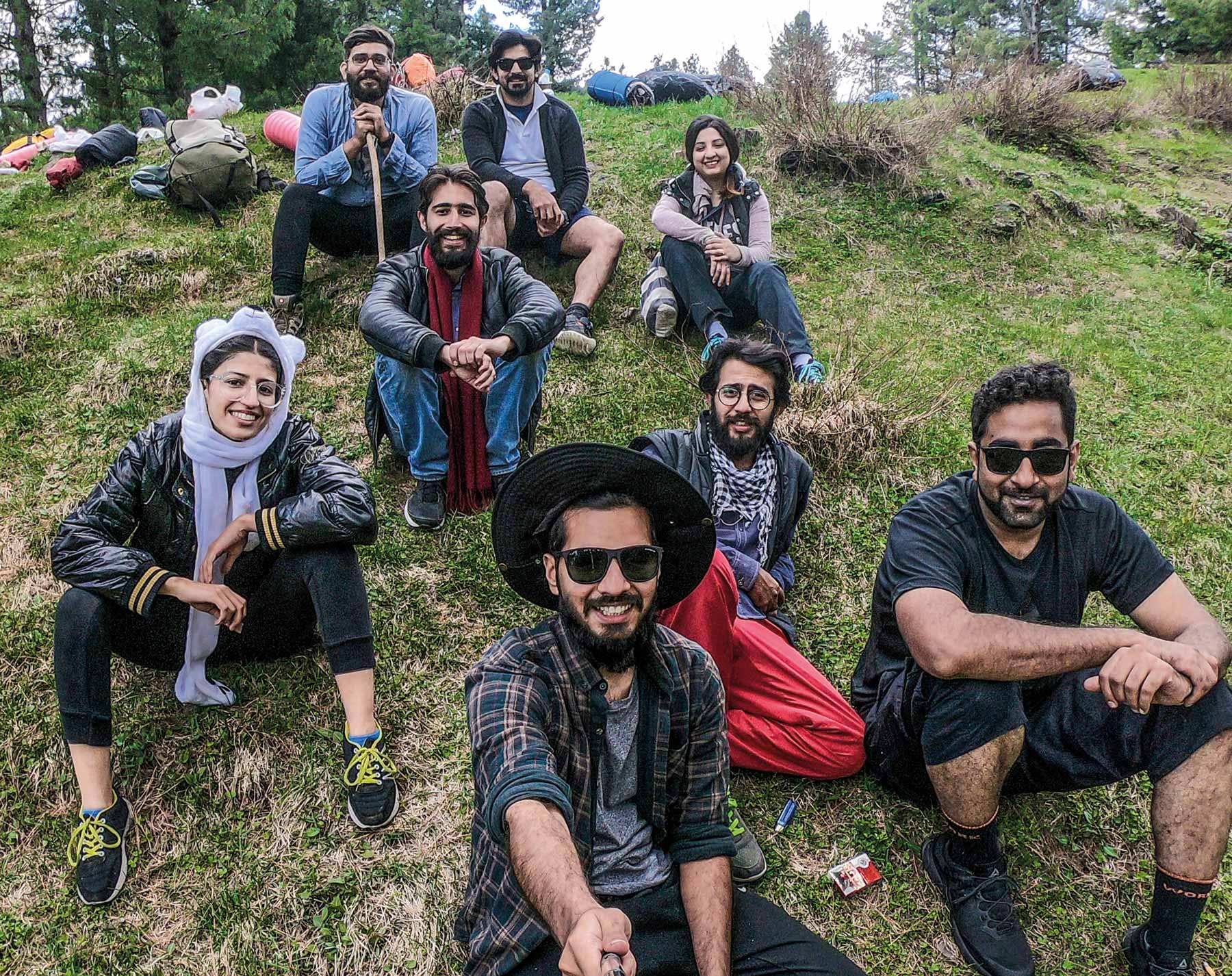
We were a group of 8 people, so obviously we were going to be late. We left from Islamabad in the evening of April 20th and reached the starting point of the track in Nathiagali by 8pm. After mentally preparing everyone that it was going to be a night hike, we started walking around 9pm. Thanks to the moon, we didn’t need torch lights. Bathed in moonlight, the track looked really pretty – we were off to a great start! By 12am, we decided to set up camp at the only campsite before the top, which is midway to Miranjani.
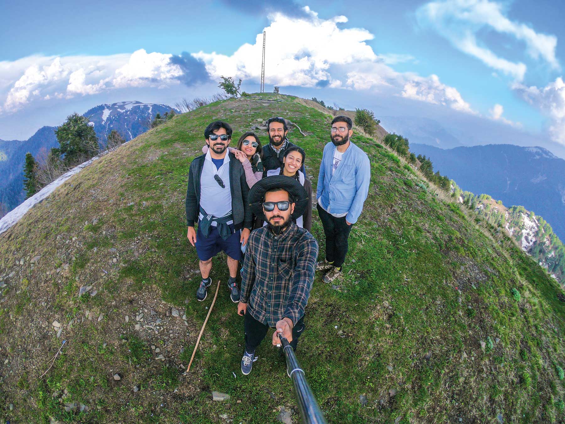
Morale was high in the morning, plus there was less carry-on weight since we’d used up some supplies for dinner and breakfast. By 3pm, we reached the top of Miranjani, only to discover that the entire way forward was completely covered in snow.
A long debate ensued amongst the group members, by the end of which 4 people decided to turn back while Lala, Uswa, Shams and I (the pros) marched on. It was turning dark, but there was no stopping us. We were the first ones to hike the Dagri Bangla track this season and it was obvious why – walking over the snow-covered path was extremely tough. We abandoned our plan to keep moving and camped by the side of the track for the night.
In the morning we turned back.
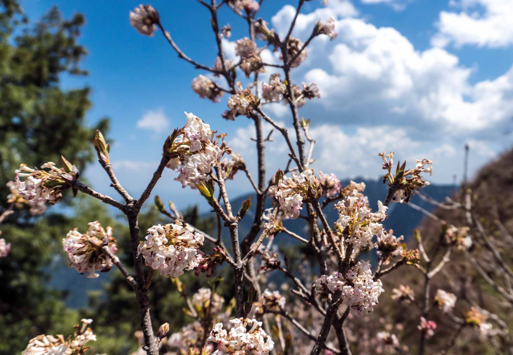
My intention had been to hike the track in spring and take photos to show how beautiful the place was. But spring comes to the Galiyat in June whereas we had gone up in April. Conclusion: We are not pros.

The PERFECT Plan
The window for this hike is between June and October. Do it in June when it’s spring, before the monsoons arrive or its gets too cold to camp on Miranjani top.
Start from Nathiagali instead of Thandiani, as it’s mostly downhill this way.
Camp on Miranjani top the first day, stay at Dagri on the second and then hike all the way down to Beringali on the third.
Skip the Beringali to Thandiani leg of the track, it’s not that interesting.
Initially, invest in a good tent and walking shoes, and if you are serious about hiking, investing in equipment like sleeping bags and cooking utensils etc is a good idea.
Carry ready-made food (preferably tinned).
Don’t trust the forecast; it rains almost every day here, which is why it is imperative to bring a raincoat.
The Dagri Bangla to Beringali part can’t be done without a guide. The rest is easy.
Deodorants don’t work, not even sports deodorants.
Carry not more than one change of clothes.